Recreation
Outdoors & Recreation
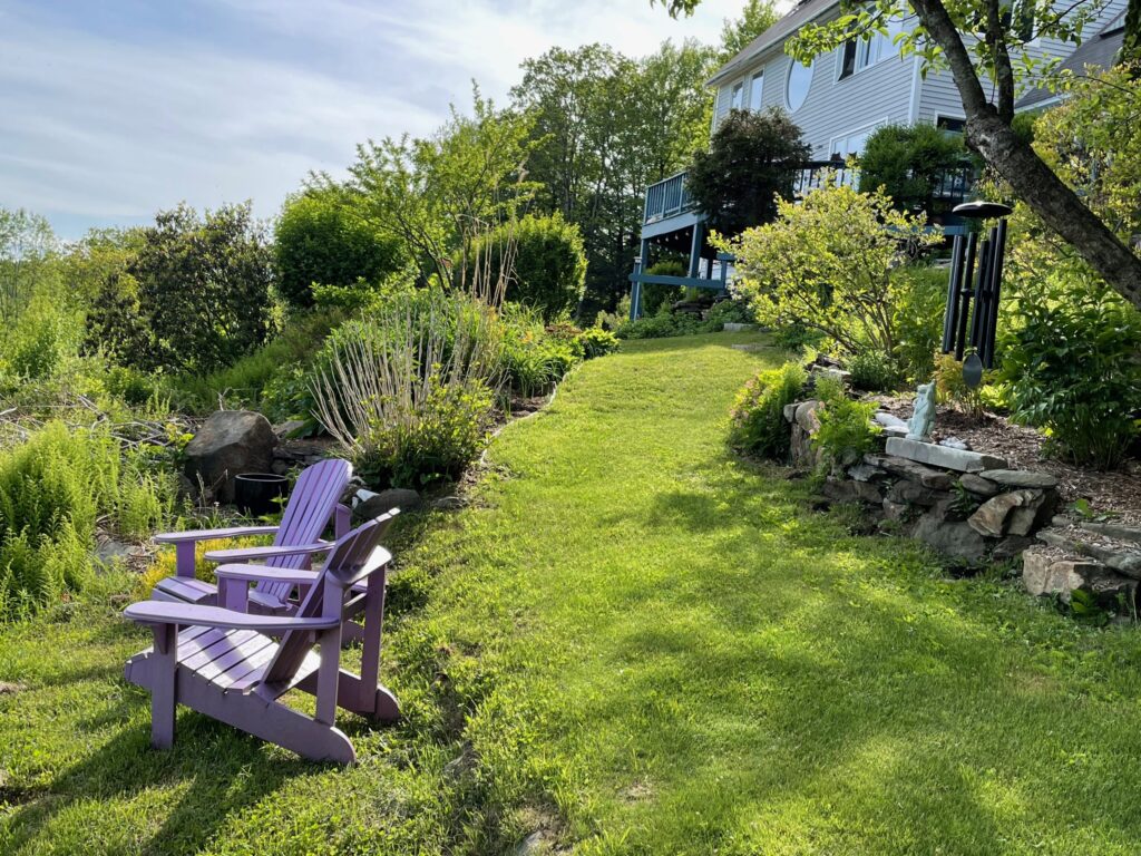
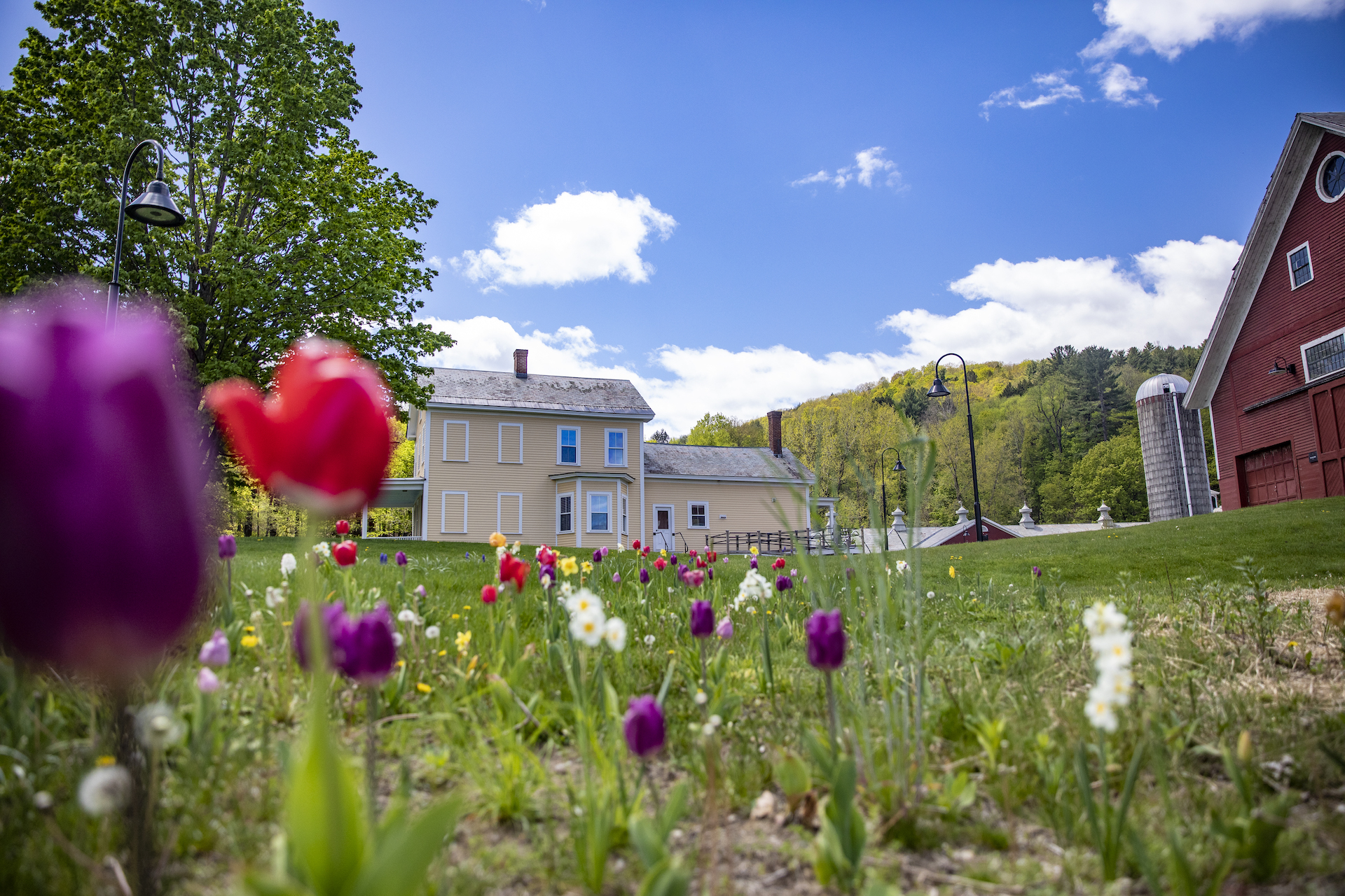
Nestled between the Connecticut River and the Green Mountains, Windham County is a hub for year-round adventure, offering everything from gentle family-friendly activities to challenging backcountry experiences.
Meet Our Featured Members
The great outdoors is waiting for you.

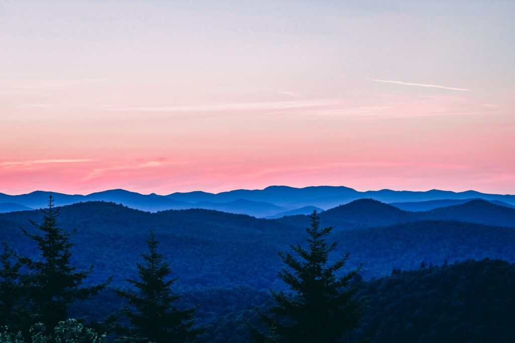
With miles of trails, scenic byways, and wild spaces to discover, Windham County offers outdoor experiences that create lasting memories. Come discover why this corner of Vermont has become a premier destination for outdoor enthusiasts from around New England and beyond.


Take a Hike
Countless trails wind through our forests and hills, accessible from most southern Vermont downtowns. The extensive trail networks within Vermont’s protected state forests offer everything from gentle walks to challenging climbs that reward hikers with spectacular views.
Wade in the Water
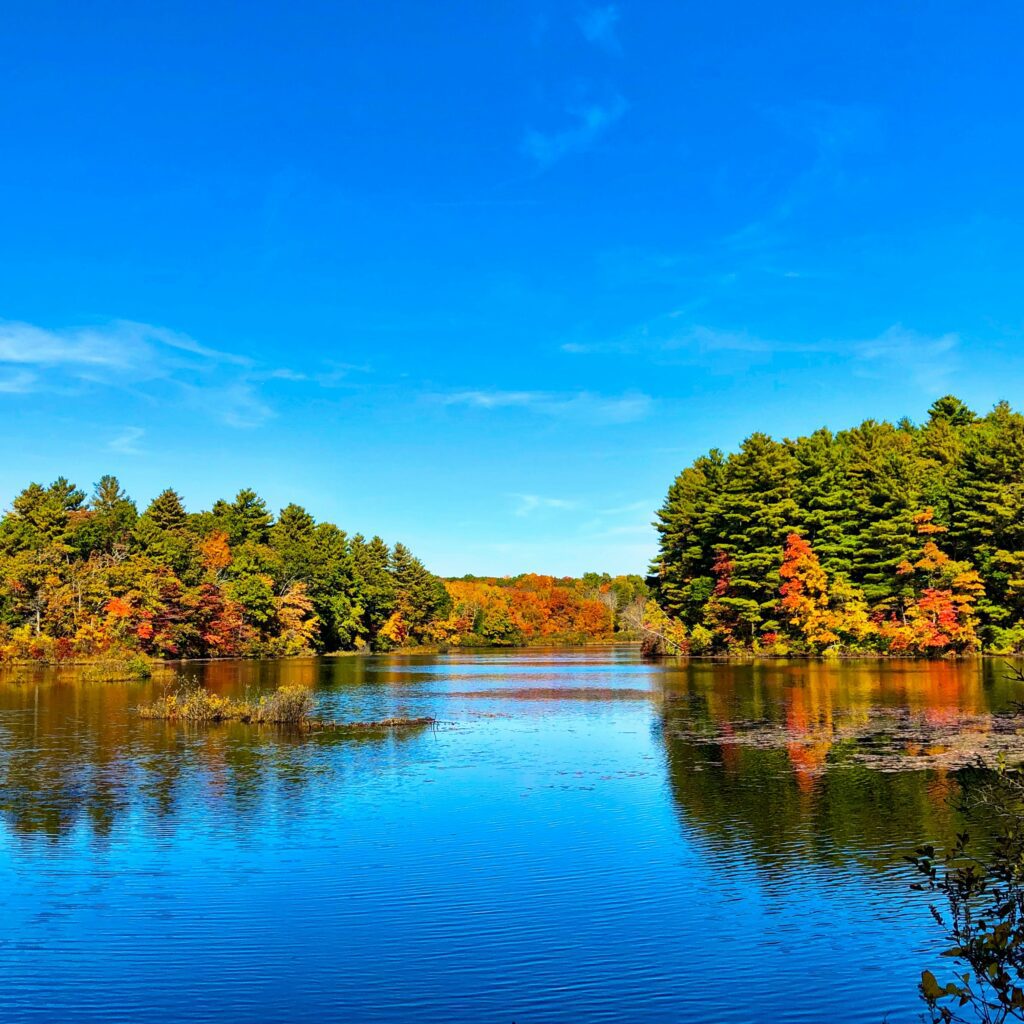
The Connecticut River and West River systems create exceptional opportunities for paddling, swimming, and fishing. Boaters and kayakers can explore vast waters and quiet bays, discovering hidden coves and scenic overlooks accessible only by water. Summer brings swimmers to numerous swimming holes and beaches, from developed facilities at state parks to secluded spots known to locals.
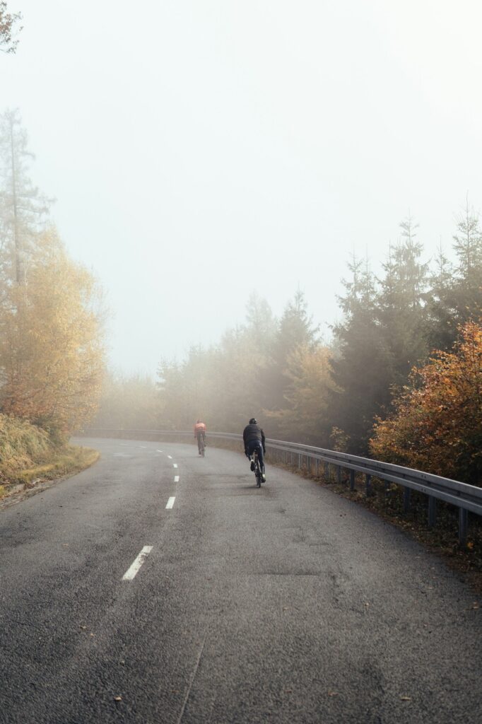
Ride a Bike
Miles of scenic trails and quiet country roads make Windham County a cyclist’s paradise. Mountain bikers will find terrain suited to all skill levels, from smooth rail-trails perfect for families to technical single-track adventures that challenge experienced riders. The region’s rolling hills provide excellent training grounds, while scenic byways offer leisurely rides through Vermont’s pastoral countryside.

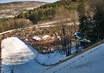
Embrace Winter’s Wonder
When snow blankets the region, Windham County becomes a winter sports destination. Nearby ski slopes offer downhill thrills for all skill levels, while extensive Nordic trail networks provide opportunities for cross-country skiing and snowshoeing. The same hiking trails that showcase wildflowers in summer become peaceful snowshoe routes, offering a serene way to experience Vermont’s winter beauty.
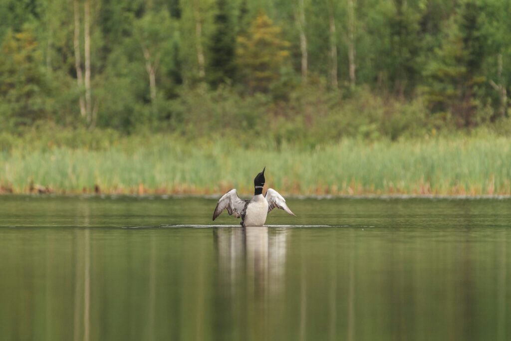
Watch for Wildlife
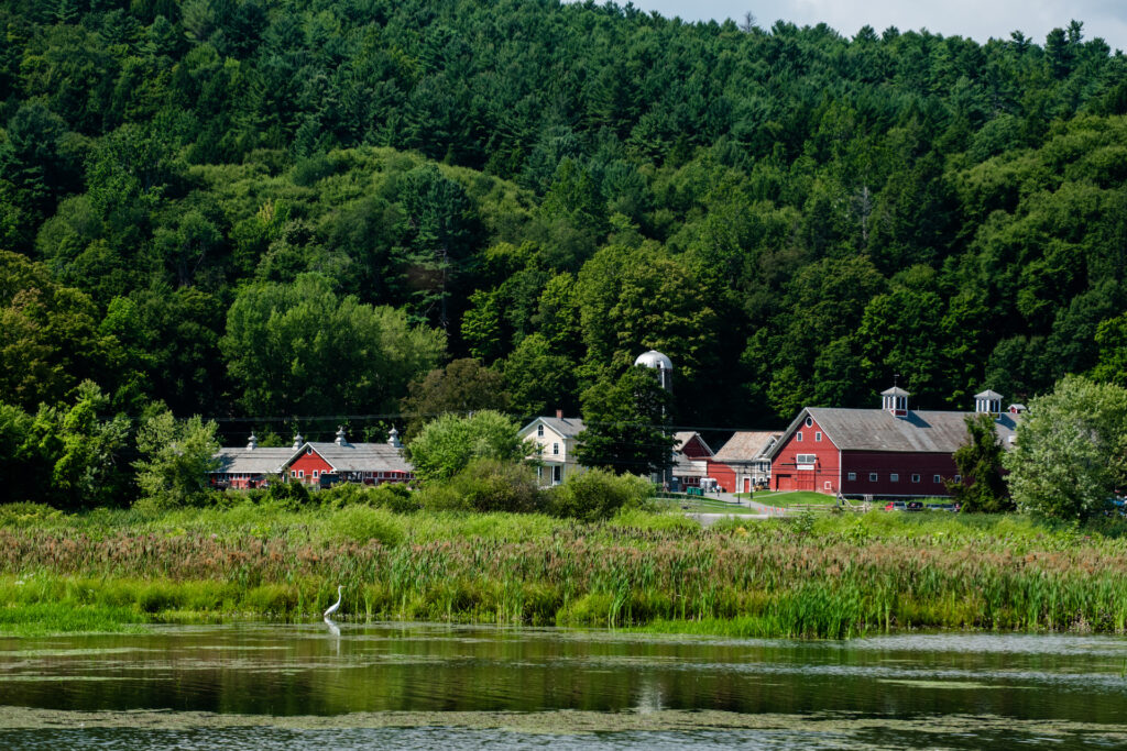
Windham County’s diverse ecosystems support abundant wildlife throughout the year. Along our rivers and lakes, scan the waters for migratory birds including geese, swans, loons, eagles, and ducks. Spring and fall migrations bring particular variety to birdwatching opportunities. Forest trails offer chances to spot deer, wild turkeys, black bears, and countless bird species.
The region’s natural areas provide excellent opportunities for photography, nature study, and peaceful contemplation.
Keep exploring…
Summer Camps for Kids Near Brattleboro
A Parent’s Guide to Summer Fun and Adventure Brattleboro and its surrounding areas offer an incredible variety of summer camp […]
Learn More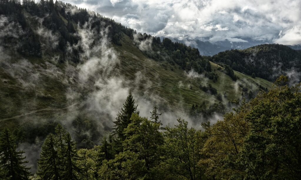
Brattleboro Hiking
Vermont is nicknamed the Green Mountain State, and with good reason: the lush greenness of nature is never far from […]
Learn More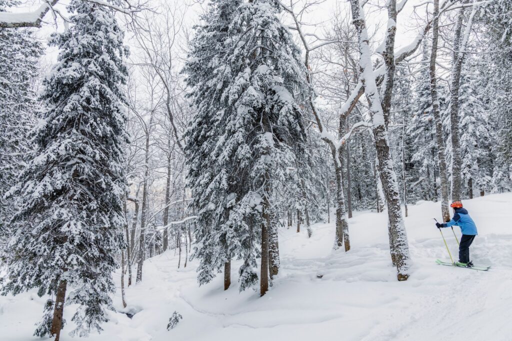
Winter Activities Near Brattleboro
Brattleboro and Windham County offer some of the best Vermont winter activities around. From skiing and skating to farmers markets and festivals, there’s truly something for everyone.
Learn More